What do Finnish civilian pilots who have lost air navigation signals have in common? Ships in the Black Sea indicate their location at 65 kilometers on land, while American pilots avoid tolls? Each situation involves interference affecting the Global Positioning System (GPS).
What is the global positioning system?
The global positioning system is a network of satellites that transmit signals. The receiving device uses these signals to determine the geographic location through trilateration.
For example, to determine the ground position, the minimum requirement is three input signals. But as more signals enter, the accuracy improves. In order to determine the geographic location and altitude, there must be at least four signals.
GPS not only determines geographic location, but also provides a key fourth dimension that many people overlook: time. Each GPS satellite contains several atomic clocks, which send extremely accurate time data to the receiver. The receiver decodes this information and allows the electronic device to determine the correct time to be less than one hundred billionth of a second.
Why is GPS important?
Countless infrastructures, businesses and electronic products rely on GPS to synchronize time and location. They understand:
Communication industry Electricity and public utility companies Emergency services (police, fire and medical) Financial markets Transportation (air, sea, rail and road) Medical equipment ATMs Gas stations Smart appliances
In addition, many other devices depend on GPS to some extent. With the advancement of technology, the number and types of GPS-equipped items are also increasing.
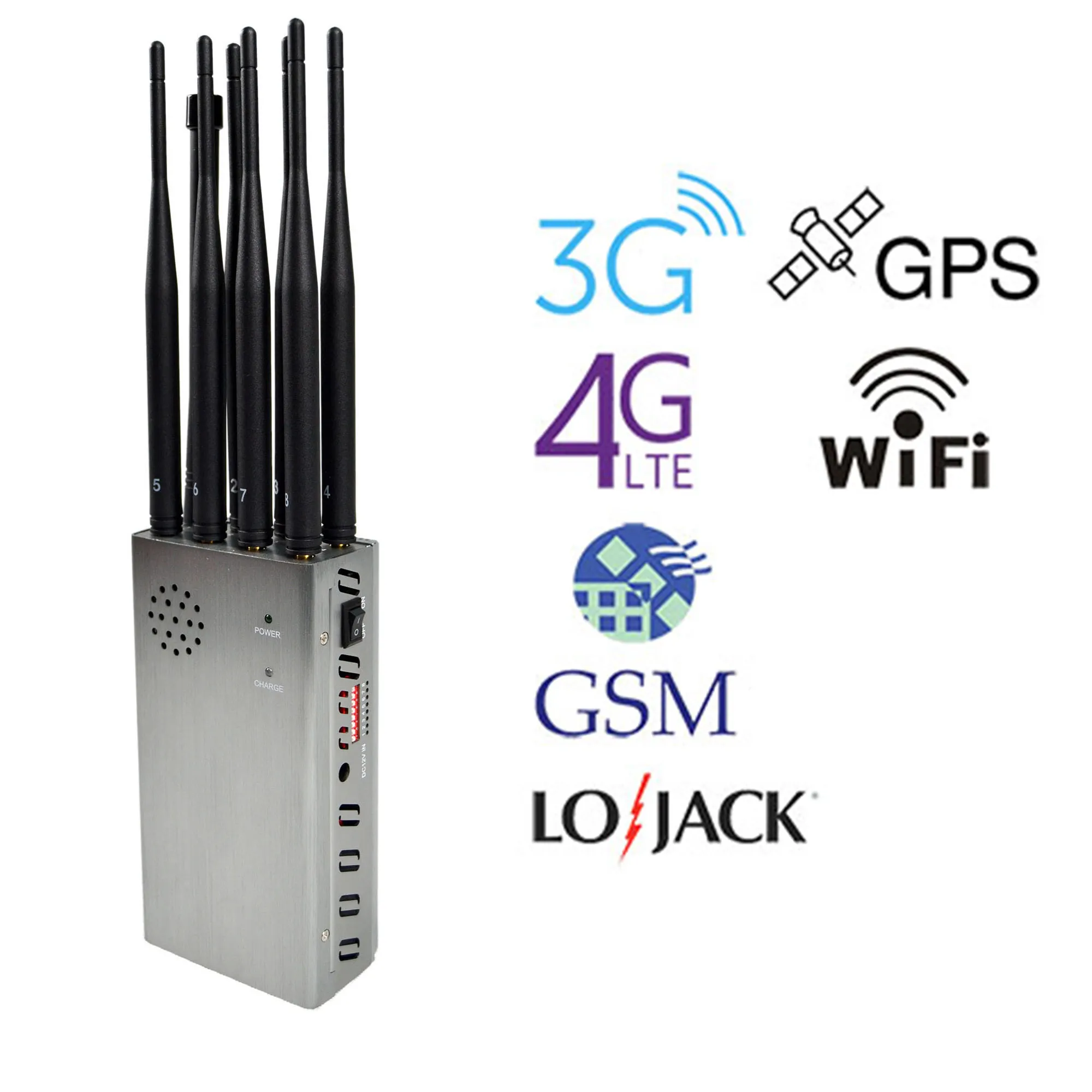
Except for the United States, other countries mainly rely on China's Beidou, Russia's Glonass and Europe's Galileo program. All these systems, as well as the US GPS system, are part of the Global Navigation Satellite System (GNSS).
Russia uses jammers to jam GNSS
In recent years, Russians have begun to interfere with GNSS. Initially, Russia sometimes blocked or tampered with GNSS to cover up the position of President Putin. This strategy aims to ensure Putin's safety and prevent any weapons based on satellite tracking from tracking him.
For example, when Putin crossed the Kerch Bridge from Russia to Crimea, an incident involving ships in the Black Sea occurred. This prompted 24 ships berthed nearby to display their positions at Anapa Airport, which is more than 65 kilometers away.
Putin's luxurious summer house near the Black Sea is also protected by a permanent GNSS deception zone. This gave his house the same level of airspace protection and GNS interference as the Kremlin.
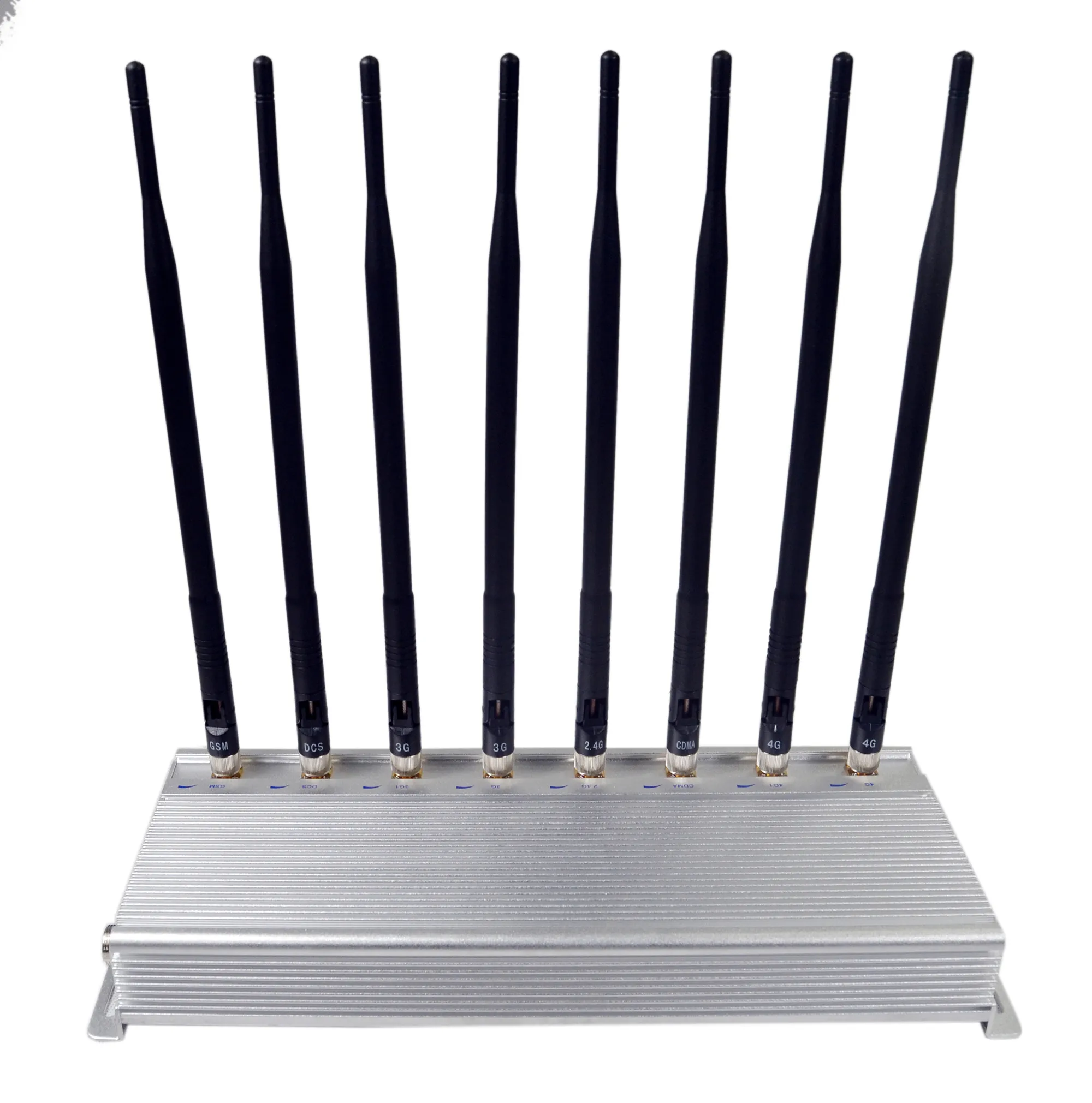
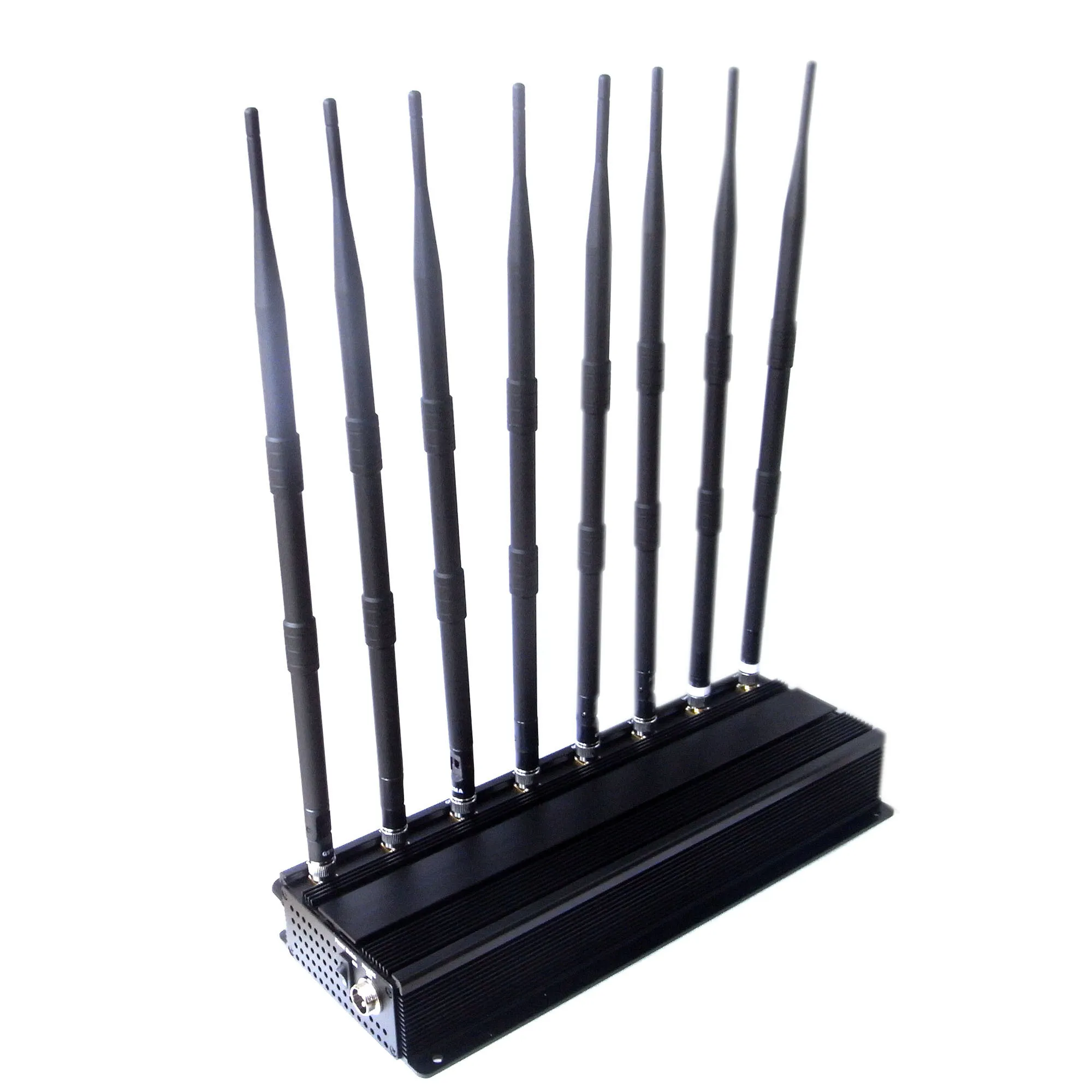
However, in recent years, Russia has expanded its GNSS interference, blocking and deception. Their GPS Jammers have been developed to the point where they can carry out extensive "attacks" on GNSS receivers, possibly interfering with all navigation systems in the selected area.
The use of GPS jammers in the United States is also a problem
There is also the threat of GPS interference in our own country. Although the Federal Communications Commission (FCC) considers GPS jammers illegal in the United States, they still exist.
In 2015, pilots heading to the Northeast Philadelphia Airport reported that they had lost GPS navigation signals as they approached the runway. The incident was caused by a truck driver parked in a nearby parking lot. The truck driver used a GPS jammer he purchased to disable the tracking device.
LORAN, the first American GPS
During World War II, the United States developed a long-range navigation system (LORAN) for transatlantic fleets and long-range patrol aircraft. In 1958, the US Coast Guard took control of LORAN.
However, due to the accuracy of GPS, the Obama administration decided in 2009 that LORAN "no longer performs any government functions, nor can it act as a backup force for GPS." The government announced that the system was obsolete, and the United States and Canada shut down their LORAN beacons.
In 2015, other countries around the world also closed their beacons. The improved LORAN trial version, called eLoran, was also discontinued, with an accuracy of less than 20 meters.
The 2018 national law on resilience and security created a GPS backup system over time
The use of GPS for location and time is so important that US Senators Cruz (R-Texas) and Markey (D-Mass) and Congressmen Carmendi (D-CA) and Hunter (R-CA)) Work together to pass the National Time Flexibility and Security Act of 2018. President Trump signed the bill in December last year.
The law requires the creation of a backup system for GPS by the end of 2020. The requirements include that the backup system must have the following characteristics:
Wireless Earthly Ability to provide extensive coverage Synchronization with coordinated universal time Resilience Extremely hard to degrade Can be deployed to remote sites
In addition, the backup system must work with and complement other similar positioning, navigation and timing systems, including enhanced long-range navigation systems and a nationwide differential GPS system. It must also be able to adapt and evolve to provide positioning and navigation capabilities.
In addition, the law also provides for the use of applicable private sector expertise to develop, build and operate the system. It must be fully operational for at least 20 years.
Texas Senator Cruz (R-Texas) said in a 2018 press release: "If the current system is interrupted for a few hours, it will pose a direct threat to the American people, the economy and our way of life. Even. Senator Marley (D-Mass) added: "The country's banking, communications, Power and transportation sectors depend on the accurate time provided by GPS. We cannot allow this vital system to open. Threats from natural phenomena such as solar flares or coordinated attacks such as interference.